Research & Development
Projet
AVOCET
Migratory avifauna and offshore wind farms: improving the assessment of collision risks using observations from weather radars
- Duration: 36 months (2025 - 2028)
- Budget: €1,922K
Motivation & background
Many terrestrial migratory birds fly over coastal and marine areas during their migration. Offshore wind farms (OWF) could have an impact on birds by causing collisions leading to mortality. Collision Risk Models (CRMs) are widely used in the marine environment for seabirds as part of environmental impact assessments for offshore wind projects. Their use for terrestrial migratory birds is questioned due to the greater uncertainty in the data used to describe their flight parameters at sea (e.g. flight altitude or bird density).
The AVOCET project aims to improve the robustness of these models by integrating innovative flight data on terrestrial migratory birds , acquired from the European weather radar network.
Key questions include:
- Where and when do terrestrial migratory birds cross at sea, and how many cross OWF sites?
- Can the use of weather radars to describe bird flows improve the estimation of collision risks in offshore environments?
Objectives
- Map migratory bird flows by developing innovative and transferable methods, using the European weather radar network.
- Assess the feasibility of extrapolating these bird flows to marine areas and estimate the associated uncertainties
- Enhance the robustness of CRMs for offshore wind farms by integrating site-specific flight parameters and quantifying the propagation of uncertainties.
Work planned
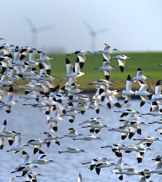
1. Terrestrial migratory birds: charactersiation of bird fluxes and peaks at OWFs
• Development of algorithms for 3D detection and quantification of bird fluxes from weather radar. Uncertainty assessment.
• Extrapolation and analysis of 3D fluxes and migration peaks in offshore environments using radar network data. Uncertainty assessment
• Description of migration phenology and peak passage periods
2. Collision risk models (CRMs)
• Review of CRMs and creation of a database on bird flight parameters
• Assessment of uncertainty propagation and sensitivity analysis of input parameters for collision risk models
• Critical analysis of the contribution of weather radar data compared to traditional data
• Development of a collaborative roadmap and recommendations tailored to local contexts for future impact assessments
Deliverables
- Algorithms for 3D detection and quantification of terrestrial migratory bird fluxes from weather radar data.
- Spatial extrapolation of offshore terrestrial migratory bird vertical fluxes
- Estimation of bird flight parameters and associated uncertainties based on weather radar data.
- Critical analysis of CRMs: comparison and measurement of uncertainty between reference flight parameters and site-specific parameters.
- Collaborative roadmap for collision risk estimation: tools and recommendations.
Conclusion
Lorem ipsum dolor sit amet consectetur.
Sagittis maecenas aliquam integer lobortis eu dignissim blandit tellus metus. Amet et tristique malesuada mattis pharetra bibendum purus id. Risus in elit ullamcorper ut. Imperdiet amet id feugiat arcu malesuada at ut vulputate condimentum.
Partners
This project is led by France Energies Marines
Funding
This project receives funding from the French government which is managed by the Agence Nationale de la Recherche as part of the France 2030 investment plan. It is also supported by the Brittany, Normandy, and SUD Provence-Alpes-Côte d’Azur regions.
Accreditation
This project is certified by the maritime clusters Pôle Mer Bretagne Atlantique and Pôle Mer Méditerranée.
Pour aller plus loin
Ajoutez votre titre ici
Lorem ipsum dolor sit amet, consectetur adipiscing ut elit tellus
Ajoutez votre titre ici
Lorem ipsum dolor sit amet, consectetur adipiscing ut elit tellus
Ajoutez votre titre ici
Lorem ipsum dolor sit amet, consectetur adipiscing ut elit tellus