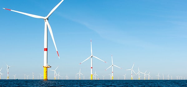
For offshore renewable energies to be effectively integrated into the French energy mix, it is essential that they increase their competitiveness in the short and medium term. Under- and over-dimensioning of energy converters and their peripheral components, respectively, lead to increases in OPEX (repairs) or CAPEX (additional cost of systems). Insufficient knowledge of the hostile environments where ORE systems are deployed therefore affects their CAPEX and OPEX. Overcoming this scientific lock is crucial to de-risking projects, attracting investors and enabling the industry to grow.
Lack of knowledge about sea states is particularly critical in coastal and nearshore areas where future commercial farms will be located because waves undergo significant changes due to their interactions with the seabed. These processes are difficult to simulate, so model errors in these areas are significantly greater than offshore. The other critical point concerns breaking waves. These can induce loadings several times higher than those caused by non-beating waves and can severely damage offshore structures. Breaking is a poorly understood physical process that cannot be accurately predicted.